
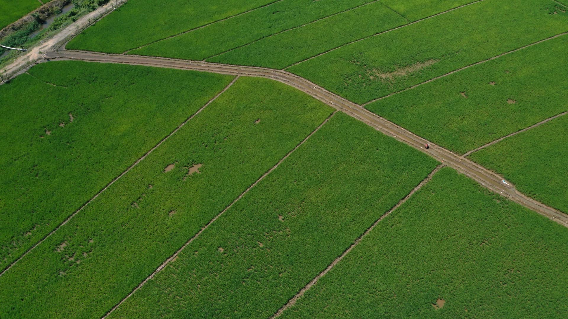
The use of drones in civil engineering, mining, cadastral development and agricultural planning has democratized access to high-resolution geospatial information in the Dominican Republic. However, when structuring the terms of reference for a tender or planning an aerial topographic survey, the great technical dilemma arises: Should we use Aerial Photogrammetry or LiDAR (Light Detection and Ranging)? Both technologies are exceptional for capturing three-dimensional data of the Earth's surface, but they operate on radically different physical principles, which determines their feasibility, accuracy and cost depending on the type of project.
Understanding the exact difference between these two technologies is essential for project directors, land surveyors and investment developers. Making the wrong decision can lead to unnecessarily inflated budgets or, worse still, to completely erroneous digital terrain models due to the inability to penetrate vegetation. In this technical article, we break down both solutions so you can choose the optimal option for your case.
What Is Each Technology? Explained Simply
Let's start by defining the physical operation of each aerial system:
**Drone Photogrammetry:** This is a passive technology. It consists of capturing hundreds or thousands of overlapping high-resolution photographs (using metric cameras with large-format sensors, such as the 45 MP DJI Zenmuse P1). Specialized computer algorithms (such as Structure from Motion, or SfM) then analyze the identical pixels present in multiple photos taken from different angles to calculate their 3D coordinates. The final result is an extremely high visual-resolution orthophoto and a 3D point cloud generated by photo-comparison.
**Aerial LiDAR (Light Detection and Ranging):** This is an active technology. The sensor mounted on the drone (such as the DJI Zenmuse L2) emits its own laser light pulses toward the ground (up to 240,000 shots per second) and measures with extreme precision the time each pulse takes to bounce back and return to the receiver. By knowing the exact position of the drone through high-precision inertial systems (IMU) and satellites (GNSS RTK), it calculates the exact 3D coordinates of the objects struck. The great advantage of LiDAR is that it emits multiple returns for each pulse, allowing it to slip between tree leaves and measure the true ground beneath the foliage.
Use Cases: When to Choose LiDAR and When to Choose Photogrammetry
The golden rule for selecting the right technology depends primarily on one critical factor: the vegetation on the site.
**When to Use Photogrammetry:** It is the best option when the main goal of the survey requires high visual detail of the terrain and the ground is bare or has very low vegetation. It is ideal for modeling urban areas, building rooftops, active mining quarries with exposed ground, visual monitoring of civil works progress, municipal cadastres and precision agriculture. It offers realistic color textures and spectacularly sharp orthophotos, ideal for marketing presentations and base visual plans.
**When to Use LiDAR:** It is strictly indispensable when the terrain is covered by vegetation, shrubs, medium brush or dense forest (which is extremely common in the rural and mountainous areas of the Dominican Republic). Conventional photogrammetry cannot see through the leaves; it will only model the upper surface of the tree canopy (Digital Surface Model, DSM). The LiDAR sensor, thanks to its multiple returns, penetrates the tree canopies, records the true ground and makes it possible to model a Digital Terrain Model (DTM) of high geodetic fidelity. It is also vital for surveys of high-voltage power lines, forested road corridors and hydraulic works planning.
Technical Specifications Comparison Table
| Parameter | Aerial Photogrammetry | Airborne LiDAR |
|---|---|---|
| Physical Principle | Passive (Photographs and pixels) | Active (Direct laser pulse) |
| Vegetation Penetration | None (Stops at the canopy) | Excellent (Multiple returns to the ground) |
| Vertical Accuracy | 2 - 5 cm (Open ground) | 1 - 3 cm (Ground and infrastructure) |
| Visual Resolution / Color | Excellent (Ultra-sharp real imagery) | Low (Point cloud colored by GPS) |
| Processing Speed | Slow (Requires hours of rendering) | Ultra fast (Direct data ready the same day) |
| Relative Cost | Economical to intermediate | Intermediate to premium |
| Key Deliverables | GeoTIFF orthophoto, textured 3D models | Classified LAS cloud, true-ground DTM |
Projects in the Dominican Republic: Real Success Stories
At Dronematic we have an extensive track record successfully implementing both technologies in the specific geographic conditions of the Caribbean:
**LiDAR Case: Photovoltaic Project in the Southwest of the DR:** For the detailed engineering stage of a 120-megawatt solar farm in an area with abundant brush and xerophytic shrub vegetation, conventional photogrammetry returned erroneous elevations due to the density of the branches. We deployed our airborne LiDAR scanner and managed to filter out 100% of the vegetation, delivering exact contour lines in DWG format that prevented catastrophic delays in the earthwork.
**Photogrammetry Case: Construction Progress Monitoring in Santo Domingo:** For a multi-tower residential development, the client needed biweekly visual updates of volumetric progress and facade visualization. The use of 45 MP photogrammetry made it possible to generate ultra-realistic color point clouds and 3D models that served both the structural engineers' supervision and the sales team's presentation.
Selecting the right tool requires a pragmatic and honest technical assessment. At Dronematic we evaluate your operational goals and the condition of the terrain to recommend the optimal solution that guarantees the required accuracy at the lowest viable cost.


