


Inspection
Precise data on your land, turbinesand infrastructure
From land owners to wind farm operators — we turn aerial data into concrete engineering decisions.
50+
Projects completed in the DR
190+ MW
Capacity inspected
890+ Ha
Hectares processed
6
Years of operation
Solutions
What does your project need?
Complete technical solutions for energy, construction and real estate development.
LiDAR Technology
890+ Hectares
Surveyed with LiDAR
High-density LiDAR drone surveys: contour lines, digital terrain models and volume calculations with centimeter accuracy. Deliverables ready for AutoCAD, ArcGIS and QGIS — for engineering, construction, mining and real-estate development across the Dominican Republic.
<2cm
Vertical accuracy
890+ Ha
Processed
Cargando visor 3D...
Orthophoto vs SatelliteResolution your engineers
Resolution your engineers
will notice
The difference between a satellite image and a drone orthophoto is the difference between estimating and knowing.
- Resolution3–5 cm/px vs 50–100 cm satellite
- RTKGuaranteed centimeter geolocation
- On-demandCapture when you need it, not when a satellite is available
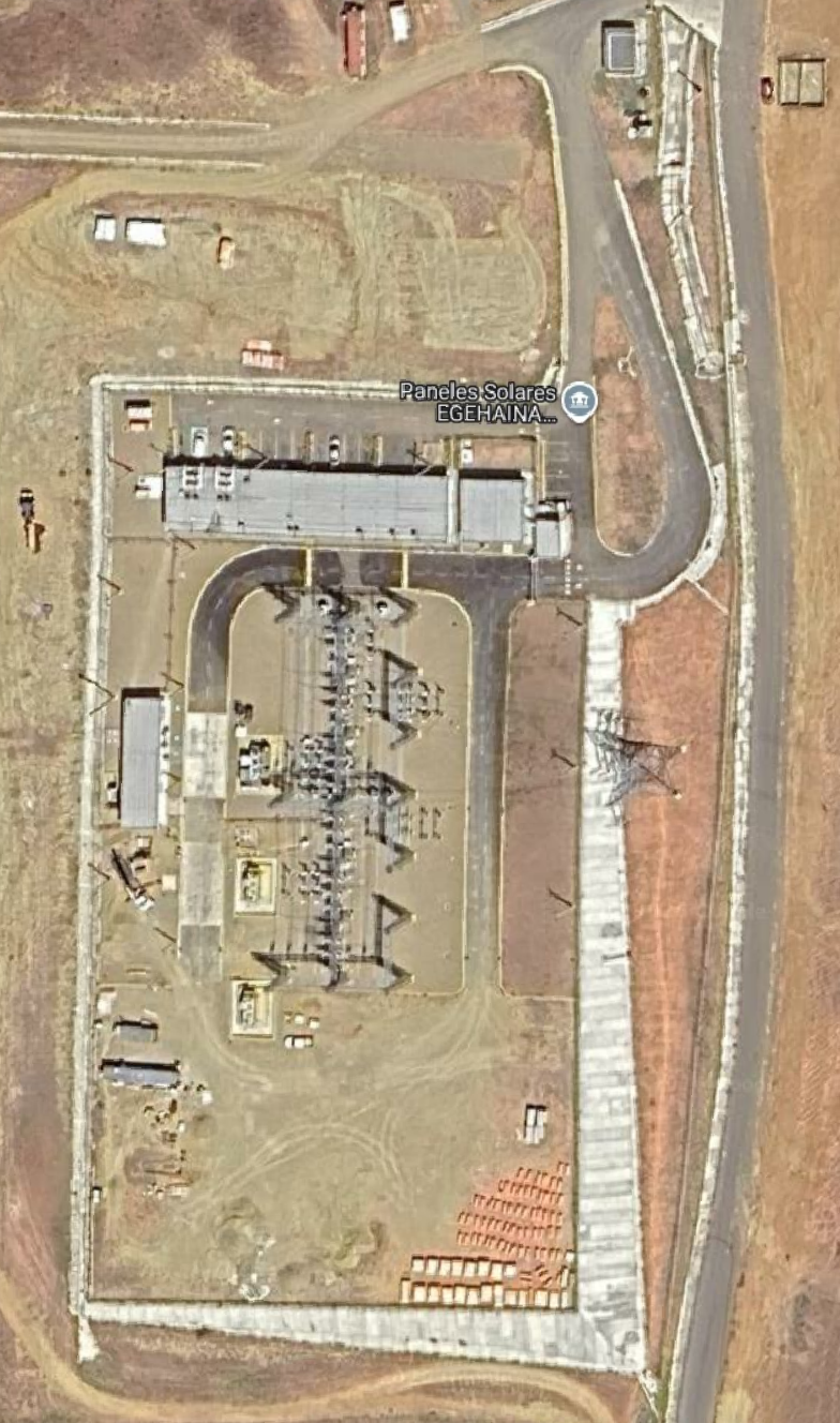
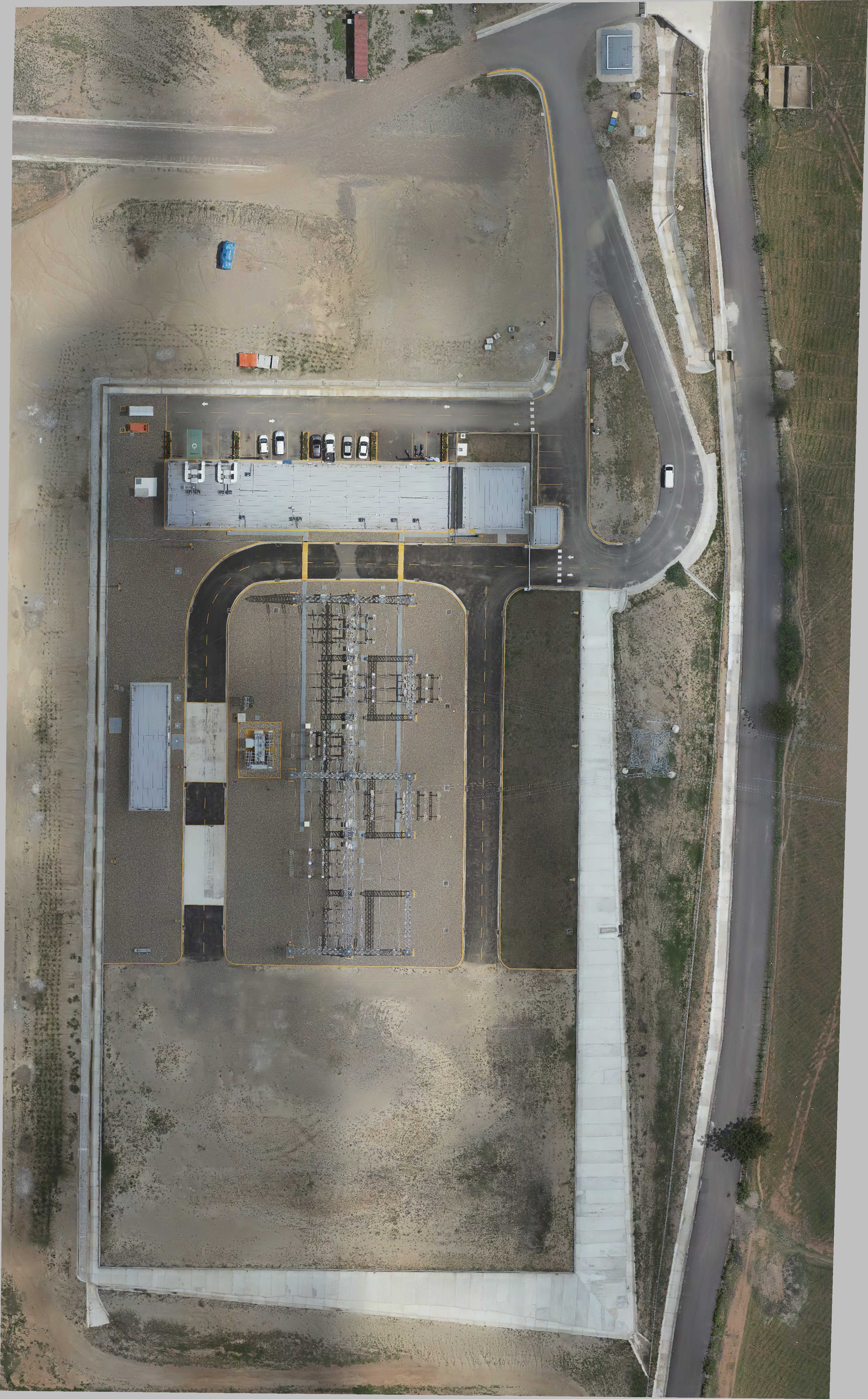
Loading comparison...
Do you have a project that requires precise aerial data?
Tell us the scope and we'll send you a technical proposal at no cost.
No commitment
Respuesta en menos de 2 horas
Certificados IDAC
50+ projects completed in the Dominican Republic